Drought Map-Texas
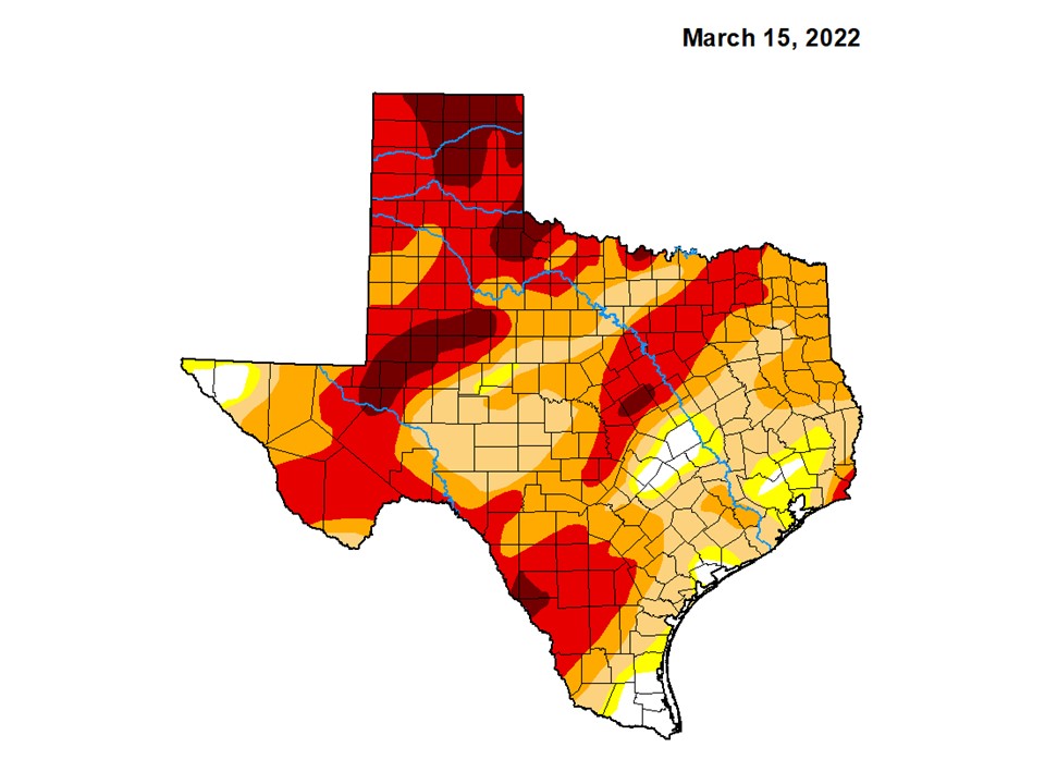
Drought map in Texas from the US Drought Monitor, produced through a partnership between the National Drought Mitigation Center at the University of Nebraska-Lincoln, the United States Department of Agriculture, and the National Oceanic and Atmospheric Administration. All colored regions are experiencing drought, from abnormally dry (yellow) to exceptional drought (darkest red).
US Drought Monitor